Why a paper map still sits beside the phone
A screen is excellent at the next turn and poor at the whole shape. A paper sheet is the opposite. I keep both on the table before a walk — not as a romance with the past, but because each one answers a different question.
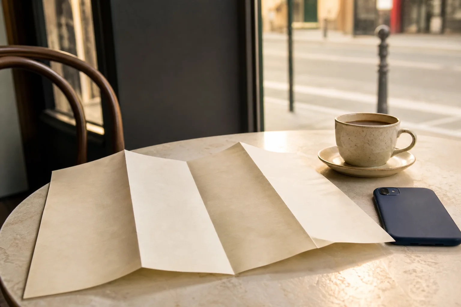
People hear “paper map” and assume I want them to throw the phone away. I do not. The phone is still the fastest tool for transit times, last-minute closures, and a quick check of a pin. What it hides is the district as a single picture. Zoomed in, you see a corridor. Zoomed out, you see labels fighting for space. Neither view is the quiet shape you can hold while walking.
Paper is slow in a useful way. You choose a sheet, fold it, and decide what belongs in your hand. That decision is already navigation. The walk then has a frame before the first turn appears.
What paper shows that a screen keeps postponing
On a sheet, water, ridges, and main streets sit in relation to each other without asking for another gesture. You can see that a “short” cut climbs. You can see that two alleys share a spine. You can see the edge of the area you are willing to leave without a way back.
On a phone, those relations arrive one swipe at a time. By the time you understand them, you have already followed three turns that assumed you already knew.
The phone answers “where next.” The sheet answers “where am I inside the larger shape.” You need both answers on a real day.
How I fold a map for a single walk
An unfolded tourist sheet is theater. A pocket fold is a tool. I trim the problem to the hours ahead.
- Mark water and high ground lightly in pencil before anything else.
- Draw the two spines you will use if a cut-through fails.
- Fold so only that district faces you — hide the rest of the city.
- Write a turnaround hour and a boundary line you will not cross alone.
- Put the phone face down while you read the sheet once out loud.
Reading out loud sounds theatrical. It works. Sound fixes the picture when eyes are tired. Then you can open the phone for the first transit hop without losing the frame you just built.
When the sheet and the screen disagree
They will. Construction, gates, and seasonal paths move faster than printers. When they disagree, I do not crown a winner. I treat the sheet as the skeleton and the phone as a witness for the latest detail. If the phone insists on a passage the sheet never showed as public, I assume the passage is provisional until I see it.
- Trust the sheet for shape: water, slope, spines, scale.
- Trust the phone for freshness: hours, alerts, a closed stair noted today.
- Trust neither for private courts dressed up as shortcuts.
- Trust your feet for the climb the map minutes understated.
That division of labor keeps the day calm. You are not fighting tools. You are assigning them jobs.
A note on “outdated” maps
People discard paper because a street name changed. Street names are the least important layer for walking. The river did not move. The ridge did not flatten. The boulevard that carries buses still carries buses. Update the names in pencil if you must. Keep the skeleton.
I still travel with a phone. I still put a folded sheet beside it on the cafe table before we leave. One tool keeps me moving. The other keeps me oriented. Orientation is what remains when the battery is low, the blue dot jumps, or the passage on the screen has already become a wall.
If you only print one thing, print the skeleton for the hours ahead: water, high ground, two spines, and a boundary. Leave the dense legend at home. A crowded sheet invites you to read labels instead of relations. A sparse sheet invites you to see the district as a room with walls you can name.
Rain, wind, and crowded bags are real. Keep the fold small enough for one hand. Slip it into a clear sleeve if the weather is wet. The phone can stay dry in a pocket while the sheet does the work of showing where you are. When the weather clears, open the phone again for the next transit check. The tools take turns. That is the point of keeping paper beside glass — not to replace one with the other, but to stop asking a single screen to be every kind of map at once.