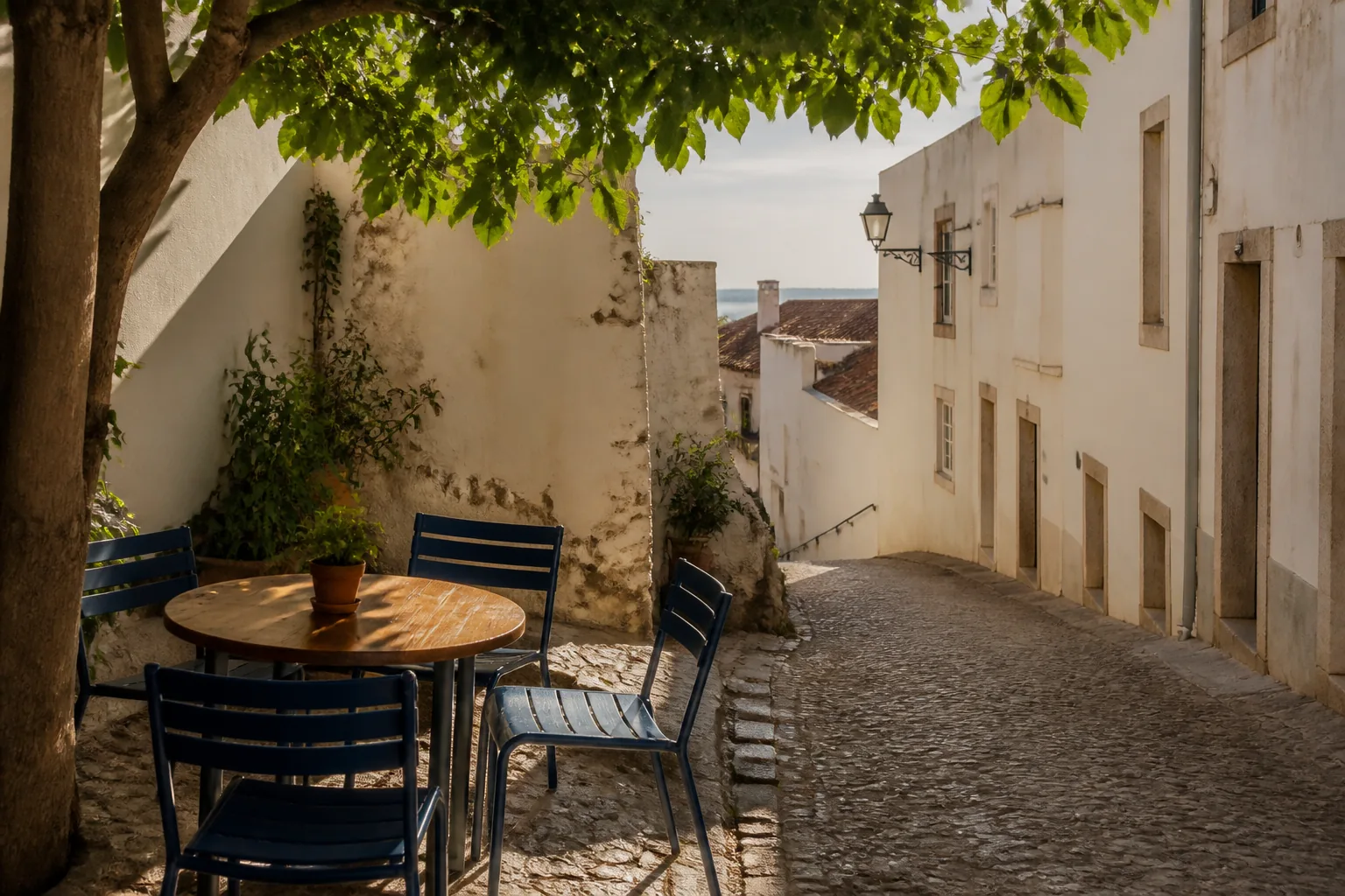
When the map still shows a passage
A thin line on a map can outlive the passage it once named. The screen keeps drawing a cut-through that has become a gate, a private court, or a wall. This note is about catching that lie early — and keeping the day intact when you do.
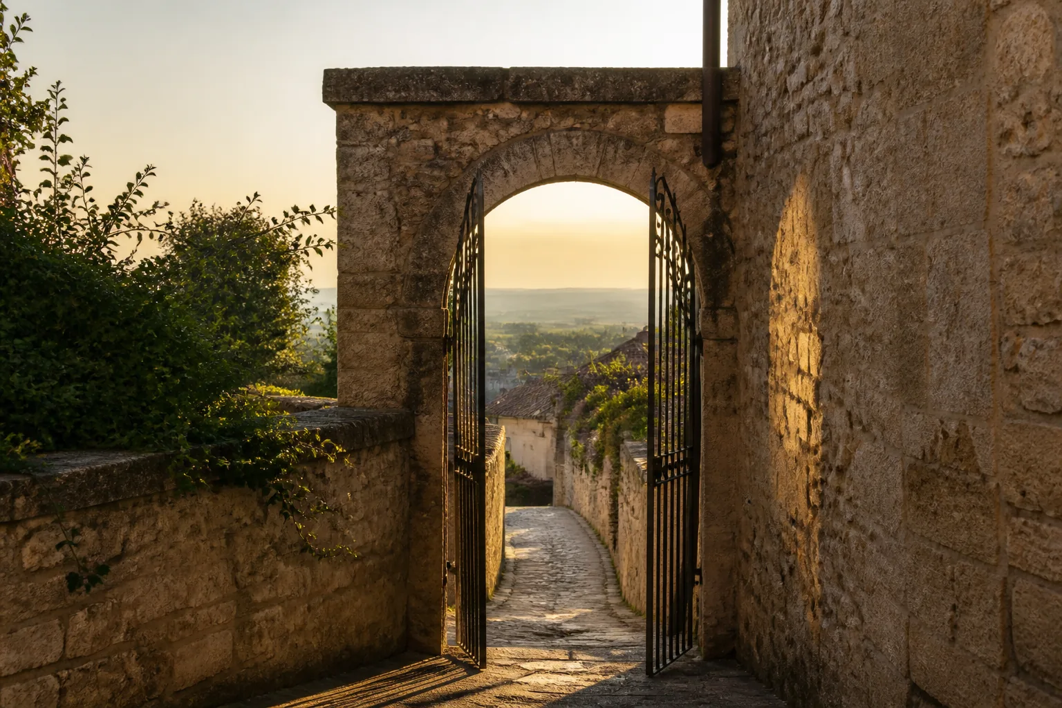
I have stood in front of more closed passages than I can count with a phone still insisting the line is open. The blue route does not argue. It simply redraws the same thin corridor that someone mapped years ago and never walked again. Your feet arrive. The iron is already there.
The mistake is not trusting a map. The mistake is treating a cut-through as a fact instead of a claim. Claims need checks. When the check fails, you need a frame that still works: water, high ground, and the streets that carry the rest of the district.
Why dead passages survive on screens
Mapping data ages unevenly. A boulevard change is hard to miss. A two-meter gate between buildings is easy to leave in the file. Satellite tiles may still show a dark strip of cobble. Pedestrian routing still prefers the shortest line. Nobody updates the note that says “public” because nobody filed the note that says “closed.”
Locals stop using the gap. Visitors keep arriving with the gap in their pocket. The gap becomes a rumor the software repeats with confidence.
A pin is a memory of a path. It is not proof the path still exists under your feet.
What to look for before you commit
Before you follow a narrow alley suggested as a shortcut, slow down long enough to read the ground around the entrance. You are not looking for perfection. You are looking for signs that the map and the street have already parted ways.
- Fresh paint, new stone, or a door where the map shows an opening.
- A house number or intercom on what was supposed to be a public lane.
- Bins, bikes, or laundry that suggest a private court, not a through-route.
- Lighting that stops at the threshold while the map continues into darkness.
- A faded arrow or plaque that once invited passage and now faces a gate.
None of these proves the alley is closed forever. Together they are enough to stop treating the pin as a promise. Ask once. Walk around once. The spines will still be there.
A short check before you leave the main street
When a route depends on a cut-through, I run the same five steps. They take less time than arguing with a reroute after you are already stuck.
- Name the water and the high ground from where you stand.
- Name the two spines you would use if the alley were gone.
- Look at the entrance for private signals: numbers, locks, domestic clutter.
- Ask one local for the next visible landmark past the alley, not for a house number.
- Decide in advance which way you will turn if the gate is shut.
Step five matters most. Without it, a closed gate becomes a blank minute. With it, the blank minute is already filled: left to the square, right to the ridge road, back to the station street.
How to recover without the shortcut
Recovery is not cleverness. It is returning to the skeleton you should have named before the alley mattered. If you know the river is downhill and the station street runs parallel to it, a gated court is only a room you cannot enter. You are still inside the larger map.
I also refuse to “fix” a dead passage by climbing fences or walking through someone’s threshold. A shortcut that exists only on a screen is often someone’s door. Walking around is not a failure of navigation. It is the method working.
When the phone keeps insisting
Apps will happily send you back into the same wall. Zoom out until the thin line stops looking like the only option. Trace the spines with a finger. If you have a paper sheet, fold it so the alley is not even in the frame. The goal is not to win against the software. The goal is to stop letting the software be the only picture you hold.
What to write down for the next visit
Field notes beat memory. When you meet a dead passage, write three lines: what the map claimed, what you found, and which spine replaced it. That note helps the next walker — including you on a tired evening — avoid the same blank minute.
Places change. Gates open again. Courts become lanes. The discipline is the same either way: treat cut-throughs as provisional, and treat water, ground, and main streets as the frame you can still trust when the provisional fails.