
kelyphite — Finding Your Way: How to Know Where You Are Without Checking Your Phone Every Two Minutes
A calmer way to hold a place in your head.
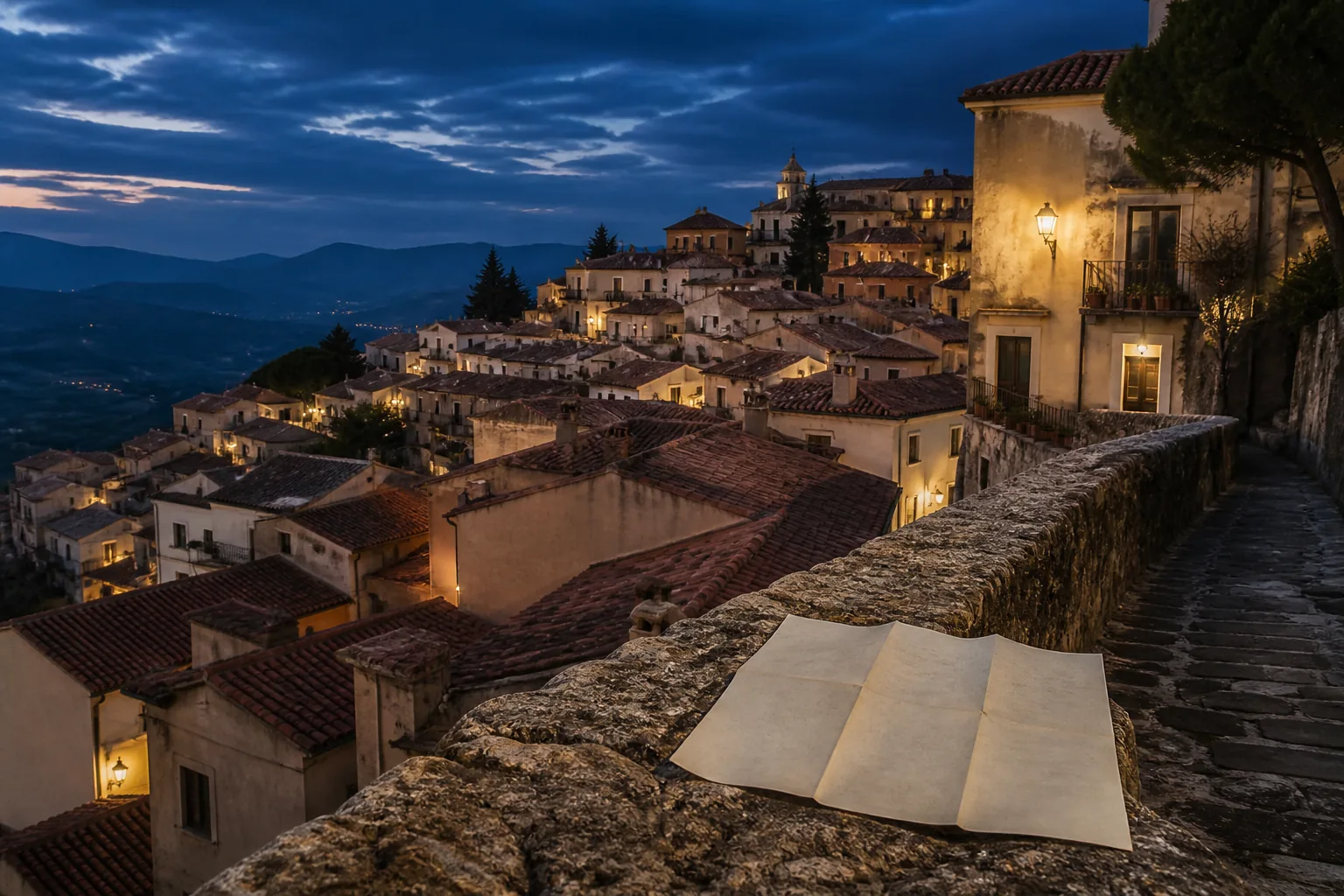
A navigator can walk you to a door and still leave the street blank. We teach the few structures that make a district or a trail readable — water, ground, and the streets that everything else hangs from — so you can change plans without staring at a blue arrow. The phone stays in your pocket more often. It does not have to disappear.
Learn MoreThe cost of the arrow
Arriving is not the same as knowing where you are
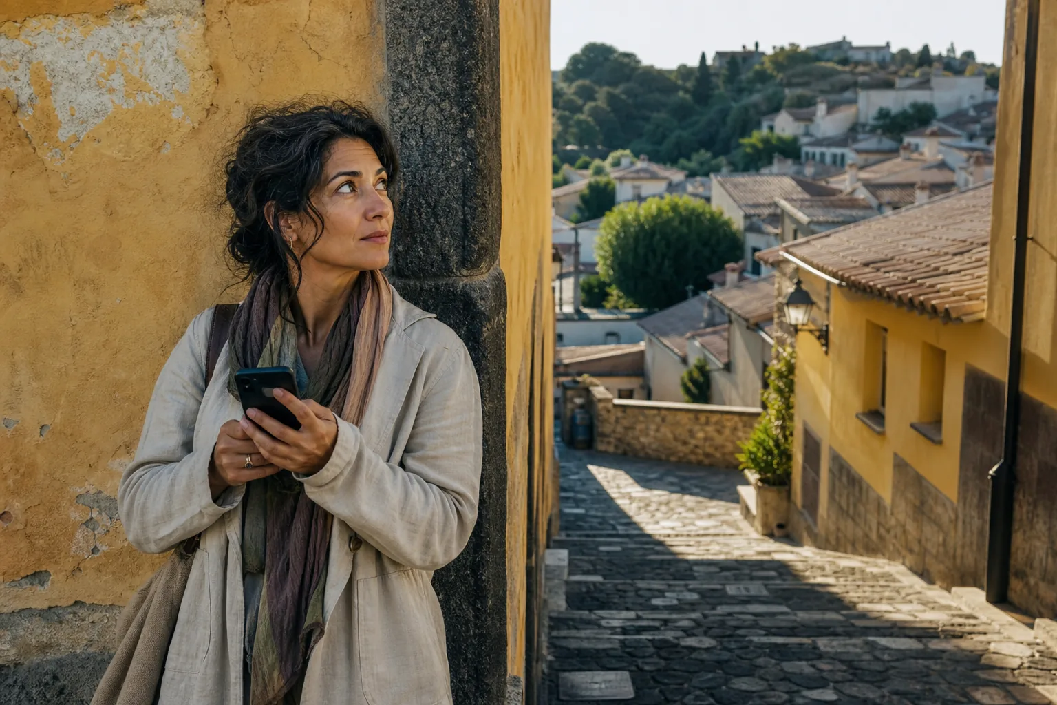
Follow a turn-by-turn line for an hour and you can still fail a simple test: point back to the station, say which way the water lies, name the street that would take you around a closed passage. The screen did the remembering. Your feet only obeyed.
That gap is easy to ignore until the battery is low, the blue dot jumps between two alleys, or a staircase on the map does not exist. Then the same walk becomes a string of guesses. People describe it as getting lost. More often it is arriving without a picture of the ground under them.
We do not argue with the speed of a phone. We look at what it quietly removes: the habit of noticing which way a street leans, where the light sits in the afternoon, and which buildings locals use as corners. Those details are how a place becomes a map you can carry when the glass goes dark.
Field notes, not slogans
Numbers we can stand behind
These figures come from routes the team has walked and from the shape of a typical consultation. They are not traffic claims and they are not promises about your next trip.
A frame you can hold
Water, ground, and the streets that carry the rest
Most places are not a tangle. They sit on a few lines. Once those lines are named, the smaller streets stop feeling like a maze and start feeling like rooms off a corridor.
Water first
A river, a harbor edge, a canal, even a dry wash: water is the line people already use without saying so. Ask which way it is and you have a wall of the room. From there, “toward the water” and “away from the water” beat a string of street numbers.
Then the ground
Cities and trails both lean. Uphill, downhill, and the shelf in between tell you where weather collects and where tired legs will slow. A map that ignores a climb will sell you fifteen quiet minutes and hand you forty. Feel the slope once and the lie is obvious.
Then the axes
Two or three streets, a ridge path, a rail line: the few spines that everything else hangs from. Learn those and you can recover when a courtyard is gated or a stair is gone. You are no longer collecting turns. You are moving along a skeleton.
Landmarks, not door numbers
Locals rarely navigate by house numbers. They send you toward a bakery with a green awning, a clock that faces the square, a bridge with a low rail. That language survives when numbering is sparse, when signs are in a script you do not read, and when a map still thinks a passage is open. We practice asking for the next visible thing, then the one after that — and translating map distance into walking time with hills, luggage, and crossings already counted in.
When the screen goes quiet
Prepare for no signal, not for a slightly worse signal
Dead zones are not a mood. They are tunnels, old stone, tree cover, ridgelines, and the last hour of a long day when the battery has already done the museum and the photos. The useful question is not “will I have bars.” It is “what do I still know if I have none.”
-
Ten minutes before you walk
Name the water, the high ground, and two spines. Mark a line you will not cross without a way back. That is the whole frame. The rest of the day hangs on it.
-
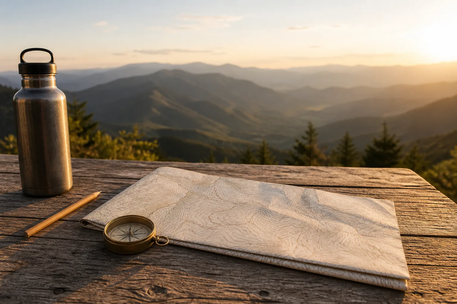
A paper map beside the phone
A printed sheet shows the shape of a district in one glance. The screen shows the next turn. You need both pictures. Fold the paper so the area you will walk is the only thing in your hand.
-
Sun, shadow, and a useful mistake
Morning light sits in the east; long afternoon shadow points the other way. That is enough to keep a heading. Getting a little lost inside a boundary you chose is how a place sticks. Getting lost with no boundary is just a problem.
The people who walk the routes
A small team that still goes outside
We do not write from a desk and a stack of screenshots. Each of us keeps a field notebook, walks the same streets twice, and turns that into advice you can actually use the night before a trip.

Elena Voss
Urban structure lead
Certified Route Interpreter, Northlight Field School
Elena records how cities actually connect: which alleys are still open, which squares work as compasses, and which “short cuts” on a map have been gated for years. She shapes the city-walking side of our consultations.

Marcus Hale
Offline preparation instructor
Offline Navigation Instructor, Clearridge Institute
Marcus works on the stretches where a phone is a paperweight: ridgelines, old stone, tree cover. He builds the checklists for downloads, paper, light, and the line you will not cross after dark.

Priya Chandran
Place memory researcher
Spatial Recall Fellow, Harbor Studio of Place
Priya studies why a second day in a district feels easy for some people and impossible for others. Her drills turn a morning walk into a picture you can redraw on a napkin.
From people who used the method
What changed after they stopped following the line
Walk through a trip before you pack
If you want a second pair of eyes on a route, a paper-map plan, or a calm checklist for stretches without signal, write to us. We will tell you what a consultation can cover and what it cannot.
Request a ConsultationWhy we keep walking
kelyphite exists to put a usable picture of a place back in your head. The screen is fast. Understanding is slower, and it is what you still have when the arrow is wrong, the passage is closed, or the battery is gone.
How to read this site
kelyphite shares knowledge about finding your way and offers consultations on trip preparation. The pages here are meant to introduce that work: how we look at streets and trails, what we ask you to notice, and where a conversation with us can help.
Conditions on the ground change between visits. Opening hours, construction, gates, lodging, weather, and path status are not frozen in a guide. Confirm details again with the people who manage the place, and with local advice, before you rely on a turn or a timetable.
Nothing on this site replaces a licensed guide, a medical professional, or the judgment you use on the day. You decide how to travel. We do not take responsibility for those choices, for delays, or for the gap between a written note and a street that has changed.
If a route is remote, exposed, or new to you, speak with someone who knows that ground. We would rather you ask twice than treat a paragraph as a guarantee that a path is still there.