
About the project
The work behind the walk
A practice built from notebooks, not from a feed of pins.
kelyphite started because arriving at a door is not the same as knowing a place. This page is the record of how we work: why we chose wayfinding over another travel blog, how a note gets checked, what a consultation includes, and who still walks with us.
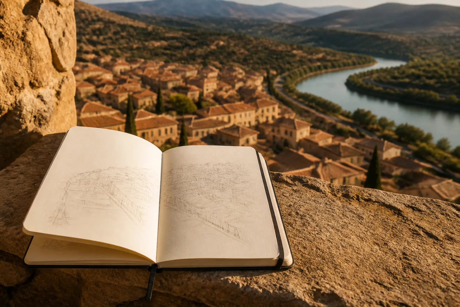
Where this began
We were tired of arriving with nothing in our heads
The first version of this project was not a site. It was an argument after a long walk. Three of us had followed a blue line through a dense quarter, found the lodging, and could not point back to the station. The route had been “successful.” The day had not. Nothing of the slope, the water, or the two streets that actually carried the district had stayed.
We had already seen the same blankness in other people: a photographer who could not find a side street she had shot an hour earlier; a teacher whose group went quiet when the last phone died; a planner who treated a pin as a door that had become a wall. The pattern was not incompetence. It was a habit of letting the screen remember.
So we chose a narrow subject on purpose. Not a catalogue of destinations. Not a ranking of stays. Wayfinding: the small set of cues that make a city or a trail readable when the glass is wrong, dark, or gone. That choice keeps the writing honest. We can walk a street twice. We cannot fake a sunset list.
kelyphite is the public side of that work. The private side is still a notebook, a printed sheet, and a conversation before someone leaves. We publish so the method is inspectable. We consult so a specific trip can be pressure-tested. Neither is a substitute for the ground you will stand on.
How a note earns its place
We do not publish a street we have not walked
Satellite tiles are a sketch, not a witness. A passage that looks open from above can be gated, rebuilt, or used as a private court. Before a sentence goes on this site, someone on the team has stood there, written the date of the visit in a field book, and said whether the note is still true.
Two walks are the minimum. The first is for the skeleton: water, high ground, the spines. The second is for the lies: stairs that do not exist, courtyards that look public and are not, a map that still draws a cut-through. If the two notebooks disagree, we walk a third time or we cut the claim.
We also refuse a style of certainty the internet likes. “Always open,” “never crowded,” “the best shortcut” — those phrases do not survive a season. We write what we saw, what we could not check, and what you should ask again on the day. A guide that cannot admit a gap is not a guide. It is advertising.
Partners send corrections. Readers send corrections. A closed bakery awning is not a scandal; it is the point. Places move. The editorial job is to keep the frame stable and the details dated in our notes, even when the public page must stay free of a calendar.
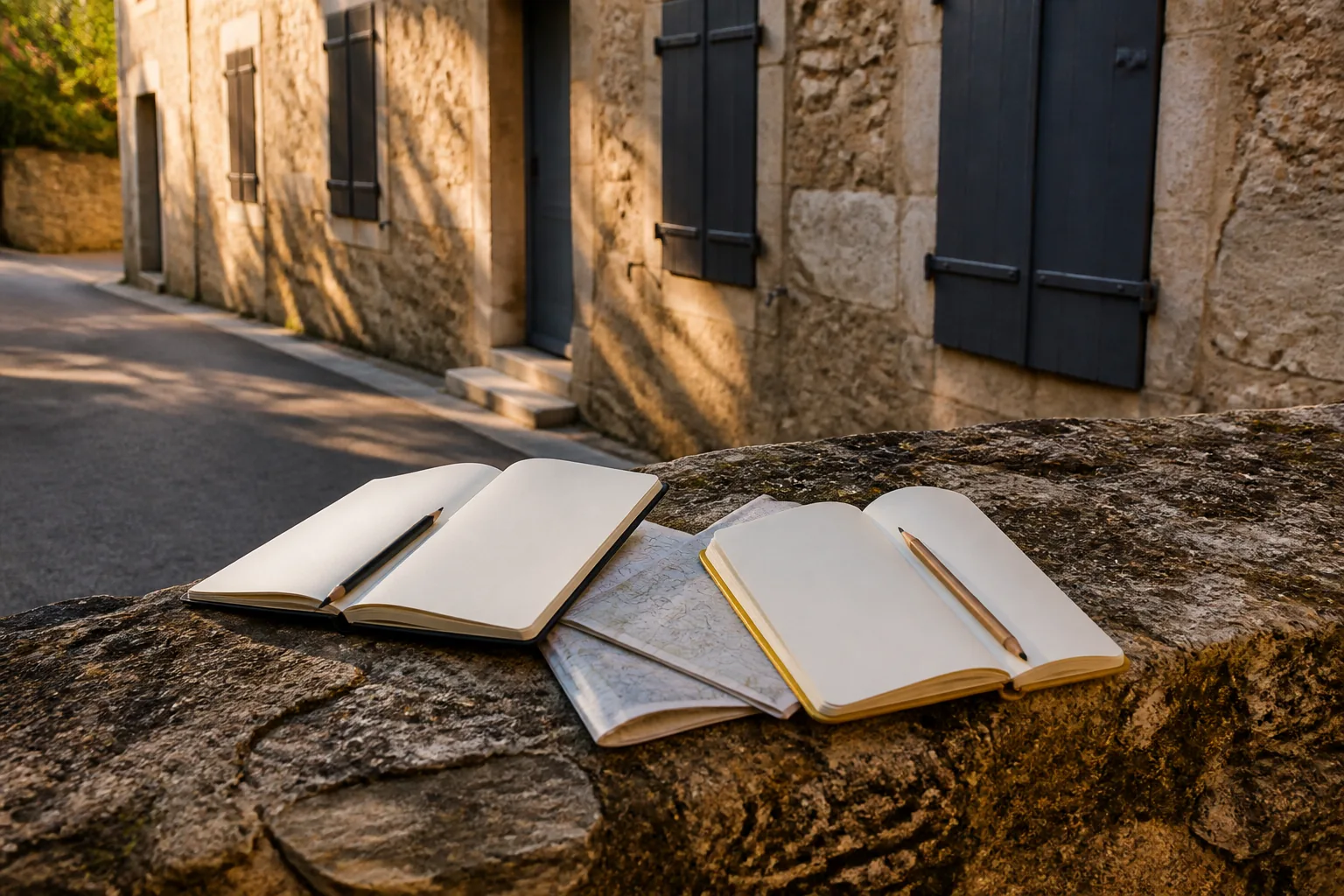
From first message to a plan
What a consultation actually contains
We do not hand you a turn-by-turn script. We help you leave with a picture you can redraw if the picture on the phone fails. The steps below are the same whether the days are urban, on a trail, or mixed.
-
You describe the kind of days you will have
Length of stay, how much walking you want, whether you travel with children or luggage, and where you already feel thin: old stone, tree cover, transit tunnels, a hillside. You do not need a finished itinerary. You need the constraints.
-
We ask what frame you already hold
Most people have a fragment: a river they noticed from a train, a ridge they saw on a postcard, a station they will use. We start there. Inventing a frame from zero is slower than strengthening the one you already half-know.
-
You receive a written skeleton
Water, high ground, two spines, and a boundary you will not cross without a way back. That sheet is sized for a pocket or a print. It is not a list of cafes. It is the few lines the rest of the day can hang from.
-
We pressure-test time and trouble
Map minutes are not walking minutes. We mark climbs, crossings, and the hour when light or fatigue will change the plan. If a stretch has no signal, we say what to download, what to print, and what to do if you miss a join.
-
You leave with a plan you can revise
The last step is yours. Hours change. Gates close. Weather turns. The skeleton should still work if you drop a museum or add a long lunch. If it only works when every pin behaves, it is not finished.
How we occupy a place
You are a guest on streets where people live
A shortcut that exists only on a screen is often someone’s door, garden, or quiet.
Wayfinding can slide into extraction: standing in a threshold to compare maps, cutting through a courtyard because a pin says the line is shorter, asking a vendor for a photo instead of a landmark. We treat those habits as a failure of the method, not a quirky part of travel.
Asking for the next visible thing — a clock, a green awning, a bridge with a low rail — is kinder and more accurate than asking a stranger to recite house numbers. It also keeps you on public ground. If a passage feels private, it probably is. Walk around. The spines will still be there.
The same rule holds on trails. A fire road is not a suggestion to leave a marked line because the map is pretty. We mark a boundary before the walk: the last join we will cross without a way back, the hour we turn around, the slope we will not descend in fading light. Getting a little lost inside that line is practice. Crossing it because a blue dot looks confident is something else.
If you travel with us in a consultation, we will ask how you want to be in a place, not only how you want to cross it. The answer changes the plan. A quiet morning in one district is a different skeleton from a day spent collecting views.

Who we compare notes with
Partners we keep because they still walk
We do not buy lists of “hidden spots.” We keep a short set of groups and workshops that correct us when a passage closes and that still go outside. The names below are the working circle we use, not a directory of bookings.
- Harbor Street Walking Circle
- An independent urban walking group that meets to read a district by spines, not by attractions. They send us gate changes and stair failures. We send them draft frames to tear apart before a page goes live.
- Ridge Library Map Room
- A small public map collection that still prints sheet maps for walkers. We use their room to check whether a paper picture of a place still matches what we walked, and they use our field notes to mark sheets that have gone stale.
- Clearridge Field Notes Exchange
- A workshop of instructors who teach offline habits on trails and in old stone. Marcus trained with them. They do not sell routes. They drill the same questions we ask: water, high ground, a line you will not cross after dark.
- Quartz Lane Print Shop
- A two-press shop that trims maps to pocket size. We work with them when a consultation needs a sheet you can hold in one hand. If a print cannot show the skeleton in a glance, we redesign the sheet rather than add more type.
We add a partner only after a shared walk. A logo on a page is not a test. Standing on the same corner and disagreeing about a gate is.
Bring us a trip you want to see more clearly
If you want a second pair of eyes on a skeleton — city days, a trail, or both — write to us. We will say what we can cover and what still belongs to you on the ground.
Contact UsRead the field notes
Short pieces on closed passages, paper maps, memory drills, and days without signal. They are written to be used the night before you walk, not to replace the walk.
Learn MoreHow to read this site
kelyphite shares knowledge about finding your way and offers consultations on trip preparation. The pages here are meant to introduce that work: how we look at streets and trails, what we ask you to notice, and where a conversation with us can help.
Conditions on the ground change between visits. Opening hours, construction, gates, lodging, weather, and path status are not frozen in a guide. Confirm details again with the people who manage the place, and with local advice, before you rely on a turn or a timetable.
Nothing on this site replaces a licensed guide, a medical professional, or the judgment you use on the day. You decide how to travel. We do not take responsibility for those choices, for delays, or for the gap between a written note and a street that has changed.
If a route is remote, exposed, or new to you, speak with someone who knows that ground. We would rather you ask twice than treat a paragraph as a guarantee that a path is still there.